Santander's tourism capital
San Gil, race hub
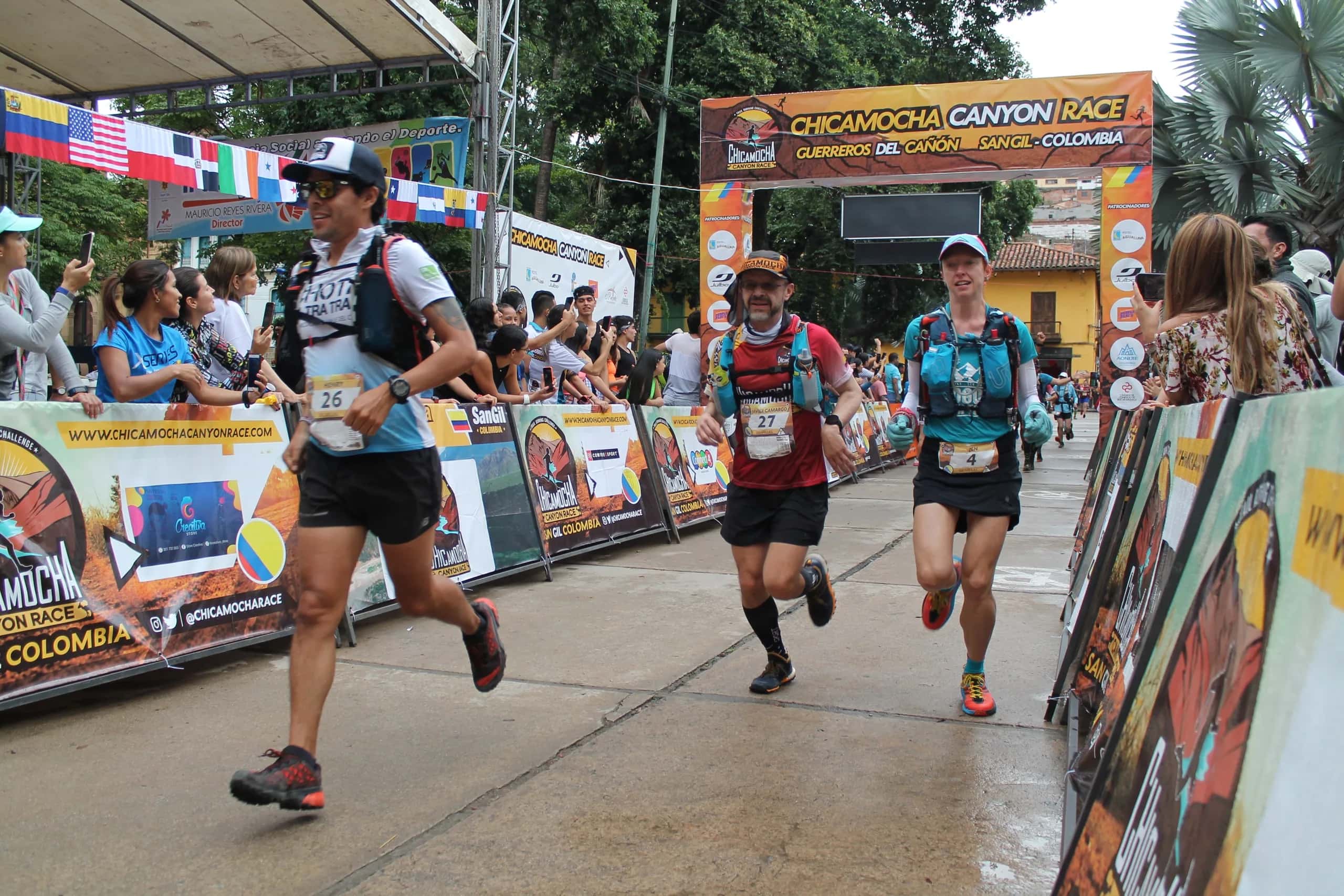
San Gil is the race's base of operations: this is where you pick up your kit, attend the technical briefing and experience the starts and finishes. Here's how to get there and what to expect.
San Gil
A town full of history and adrenaline
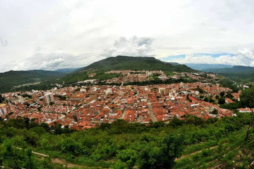
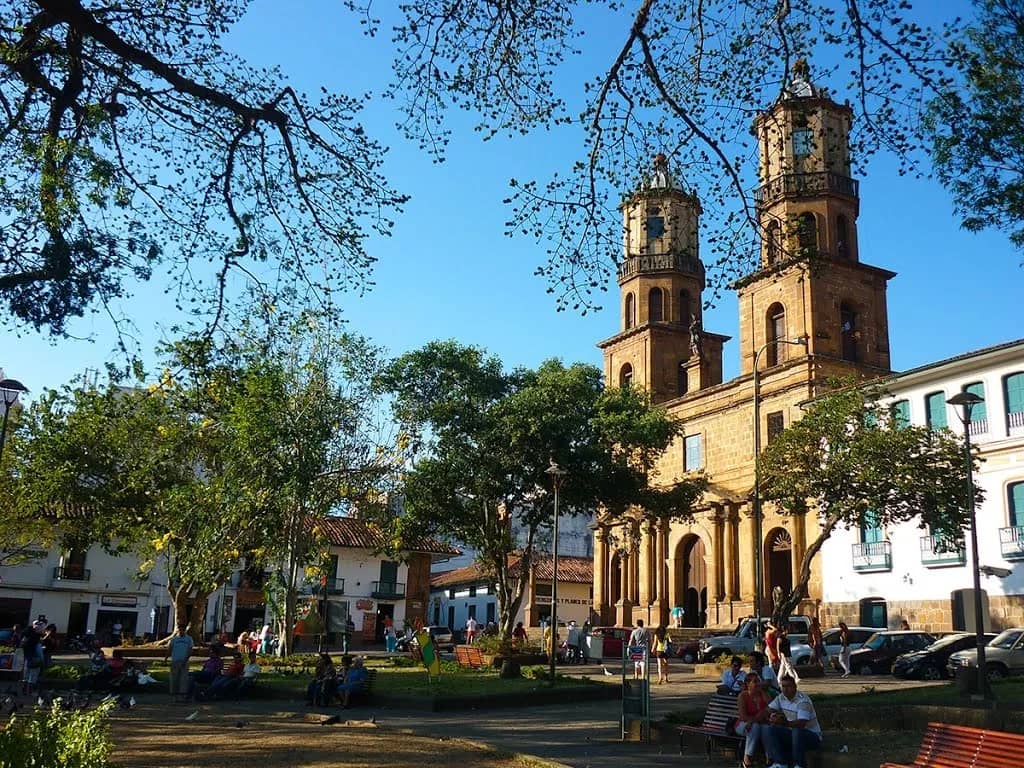
Santander's tourism capital and Colombia's pioneering hub for extreme sports, San Gil and its neighboring towns have the infrastructure, the places and the cultural and outdoor activities for the whole trail running family to have an unforgettable experience.
San Gil is the main hub of Chicamocha Canyon Race. This is where you'll find:
- Race kit pickup.
- The technical briefing.
- Starts and finishes.
- Departures and returns of the buses to the start lines of some distances.
San Gil at a glance
- Elevation above sea level
- 1,114 m
- Average temperature
- 24 °C
- From Bucaramanga
- 98 km
- From Bogotá, on the Pan-American Highway
- 327 km
Plan your arrival
How to get to San Gil
By plane, direct flight
SATENA operates direct flights to San Gil from Medellín and from Bucaramanga (Palonegro Airport). According to the schedule published in 2025:
- Medellín – San Gil: Monday, Wednesday and Friday.
- Bucaramanga – San Gil: Monday and Friday.
Check current days, times and fares at satena.com. For the 2025 edition the race secured a 20% discount on these flights for each runner plus one companion; partner deals for each edition are announced in News.
By plane, via Bucaramanga or Bogotá
- Bucaramanga: fly from Colombia's main cities into Palonegro Airport and continue overland to San Gil: 98 km across the Chicamocha Canyon, about 2 hours by car or 3 by bus.
- Bogotá: fly into the capital and continue overland for about 6 hours to San Gil.
By intercity bus
Bus terminals in Colombia's main cities run comfortable, modern buses to San Gil. Some of the companies: Berlinas del Fonce, Copetran, Bolivariano, Expreso Brasilia, Omega and Transsander.
- Bucaramanga – San Gil: about 3 hours and 98 km through the Chicamocha Canyon. Cootrasangil buses leave the bus terminal every 20 minutes (around COP 30,000 in 2025).
- Bogotá – San Gil: about 6 hours, with departures roughly every hour from the Salitre or Norte bus terminals (between COP 50,000 and 80,000 one way in 2025).
By car
Roads are in very good condition, with rest stops, gas stations and police presence.
From Bogotá there are two options, via Chiquinquirá or via Tunja, which meet in Barbosa; from there the route is the same. From Medellín there are two routes, both through Bucaramanga. Distances, driving times and tolls are in the route table.
Driving routes
| From | Route | Distance | Approx. time | Tolls |
|---|---|---|---|---|
| Bogotá, via Chiquinquirá | Autopista Norte – Cajicá – Zipaquirá – Ubaté – Chiquinquirá – Barbosa – Oiba – Socorro – San Gil | 313 km | 6 h | 4 |
| Bogotá, via Tunja | Autopista Norte – Tocancipá – Tunja (dual carriageway) – Moniquirá – Barbosa – Oiba – Socorro – San Gil | 336 km | 6 h | 5 |
| Bucaramanga | Floridablanca – Piedecuesta – Aratoca – San Gil | 98 km | 2 h | 2 |
| Medellín | Bello – Cisneros – Puerto Berrío – Puerto Araujo – La Lizama – Bucaramanga – San Gil | 478 km | 9 h | 8 |
Approximate driving times by private car. From Medellín you can also go via Guarne – Puerto Triunfo – Puerto Araujo – La Lizama – Bucaramanga (about 11 hours and 8 tolls).
Location
San Gil, Santander, Colombia
San Gil sits on the Pan-American Highway, 98 km from Bucaramanga and 327 km from Bogotá.
Google Maps ↗Your stay
Plan your days in San Gil
- Partner hotelsComfortable hotels for every budget and taste, with perks for the CCR family.
- Adventure sportsRafting, paragliding and more with Ríos y Canoas.
- Towns on the courseBarichara, Villanueva, Jordán, Curití, Mogotes and Aratoca.
- Places to visitChicamocha National Park, Barichara and trips around Colombia.
See you in San Gil
From June 4 to 7, 2027, San Gil hosts the 15th edition of Chicamocha Canyon Race.